The quagmire of administrative districts: Part 1
3-4 minute read
By The Findmypast Team | March 6, 2012
In this, the first part of a two part post, Fiona explains some of the myriad of names associated with Irish administrative districts, essential for getting a grasp of Irish family history records.
Successful research hinges on being able to access records that are relevant to your ancestors. But there are no such things as purely 'genealogical' records, with a few notable exceptions, namely the Gaelic genealogies, and from the 16th Century when the Ulster King of Arms was first appointed. Instead, researchers have to create their own patch-work of evidence, drawn from records which were made and kept, because they served the administrative purpose of the civil or church authority or of an individual (usually a landlord).
Consequently, to be able to identify what records are relevant to your research, you need to know how, why and when different records sets were made, revised, and stored down to the present day. You will also need to know the basic unit of survey for any records source that you use.
Even the experienced researcher can get bogged down in trying to identify a particular place-name or locality because territorial frameworks and administrative districts have developed in Ireland during two millennia. Consequently smaller territorial units such as townlands and civil parishes don't fit neatly within the boundaries of baronies or counties, as all of these defined geographic areas came into being at different times in our history.
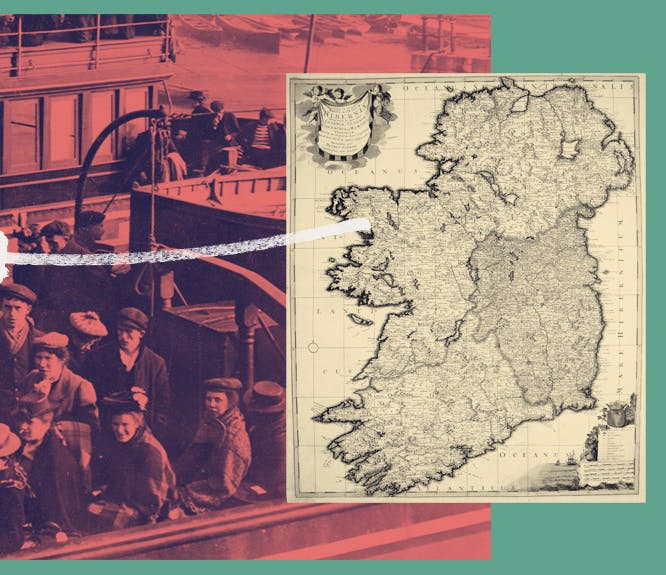
When using the Irish records, you need to know the difference between a townland, civil parish, barony and county, and also to know what records correspond to each of these different geographic/ administrative areas.
In the 18th, 19th and 20th Centuries administrative districts in Ireland were frequently revised. The researcher needs to understand where and when this happened to avoid searching for their ancestors in the wrong place.
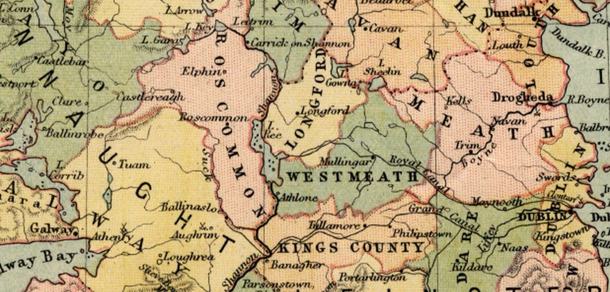
Townlands
The townland is the smallest administrative division used. Many historians think that the origin of townland names is topographical, and names were in place between the 2nd and the 8th/9th Century. The name 'townland' comes from the Saxon 'toon' the basic farmed unit – a farmstead, usually with a rath in the middle. These were known in Irish as 'baile's. The Irish townlands were first comprehensively recorded between 1824 and 1842 by the Ordnance Survey to facilitate a uniform valuation for local taxation. You will primarily come across townlands in
land and estate records.
Civil parish
Derived from the pre-Reformation church parishes. Following the Reformation, the Anglican Church of Ireland was the Established Church supported by tithes. As such it had basic civic responsibilities including poor relief, until its dis-establishment ca. 1869. Civil parishes rarely follow county or barony borders, in part because they often predate both. Likewise civil parish boundaries rarely if ever correspond to RC parish boundaries, as RC parish boundaries were redrawn in the 17th and 19th Centuries. There are 2,508 civil parishes, most of which you will come across when research
Irish birth, marriage and death records).
Barony
A territorial division of a county composed of a number of townlands. The origin of the term, and of its boundaries are obscure, although the barony as an administrative district, was in use by the 16th Century. Some historians have argued that the barony was the territorial division of former Gaelic lordships. In the 19th Century, baronies were used as administrative units for taxation, law enforcement and general administration, until the local government acts of the mid century made them largely redundant. The 1891 census was the last to be taken on a barony basis. There are approximately 270 baronies in Ireland.
County
Counties are the most important unit of local government in Ireland. The county or shire system was implemented in Ireland between the 12th Century and 1606. The process of shiring involved the crown's appointment of a sheriff in whom legal, military and administrative authority for the county was vested. However as late as the 17th century, some regions of Ireland were independent of crown authority, either as independent liberties recognized by the common law system, or as autonomous Gaelic lordships. The flight of the earls in 1604 enabled the crown government to shire Ulster, and Wicklow county was established in 1606. County identities were reinforced in 1846 by mapping county boundaries. In 1898 the Local Government Act first established County Councils. Prior to partition, there were 32 counties in Ireland. Partition saw the creation of Northern Ireland, from 6 of the 9 former counties of Ulster. In 1993 the county of Fingal was created as an administrative district, from land formerly in north county Dublin.
Check back in two weeks time for the second part.
- Fiona Fitzsimons
Read part 2
Related articles recommended for you
Irish family history and minority religions in Ireland
History Hub
Celebrating Irish stories with almost a million new records
What's New?
From Ulster to the US: Irish migration patterns and their impact on Irish genealogy
History Hub